
News
New Mobility & Cities Workshop
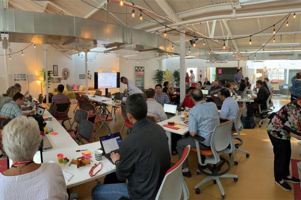
On July 15-16, CURA along with the STEAM Factory, the Sustainability Institute (SI) and Portland State University (PSU) hosted a National Science Foundation (NSF) sponsored workshop on New…
National Neighborhood Indicator Partnership (NNIP) Meeting - Milwaukee, WI
Last month, CURA and the Data & Mapping team at the Mid-Ohio Regional Planning Commission (MORPC) attended the National Neighborhood Indicators Partnership (NNIP) semi-annual meeting in Milwaukee,…

Westfest 2019
Earlier this month CURA had to opportunity to participate in Westfest 2019, held on the West Campus of the Ohio State University.
Westfest is an annual, free public event showcasing…
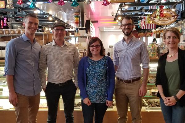
Researchers Represent CURA at the 2019 AAG Conference
CURA was well-represented at the 2019 American Association of Geographers annual meeting, which took place in Washington DC in early April.
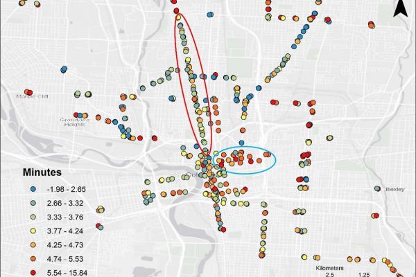
Transfer RiskGraduate research associate Luyu…
Spring 2019 Speaker Series Preview: Natural Resources & GIS
CURA has a long tradition of bringing novel ideas and thoughtful discussion about urban and regional issues to Central Ohio through our semi-annual speaker series. Recently, we have focused on…

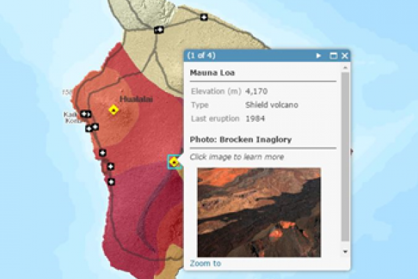
Recap Workshop: Web Mapping Basics with ArcGIS Online
Last month our Outreach Coordinator, Katie Phillips and Geospatial Information Librarian, Josh Sadvari co-presented a workshop on the basics of web mapping using ArcGIS Online (AGOL). This…
Upcoming workshop: GIS for the Rest of Us
From Ptolemy to Tobler, cartographers and data scientists help people see the world in new ways. You can too! Join CURA, Byrd Polar and Climate Research Center, and the University Libraries…
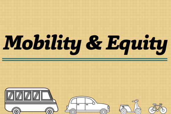
Autumn 2018 Speaker Series Preview: Mobility & Equity
CURA has a long tradition of bringing novel ideas and thoughtful discussion about urban and regional issues to Central Ohio through our semi-annual speaker series. Recently, we have focused on…
Researcher Spotlight: Nia Matsumoto
Dearly beloved, I write today of the passing of our own Nia Matsumoto. She was with only with us since 2017, but she has now departed for a better place. Well, it is debatable whether the private…