Featured resource: CURA Geocoder

Did you know that CURA maintains a free geocoding service for use by OSU students, faculty, and staff? Read this post to learn how you can use the CURA geocoder for your next project.
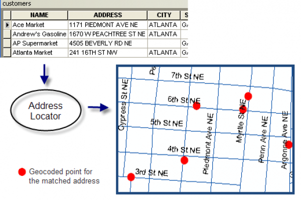
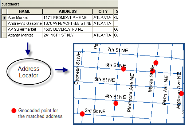
In many fields of study, it is common for location data to be obtained as tables of street addresses. In order to visualize these locations or study the spatial relationships between them, however, the street addresses must first be converted to geographic coordinates using a process called geocoding.

With enough time, money, and/or ingenuity, it is possible to geocode addresses using the geocoders provided by OpenStreetMap, ArcGIS Online, Google Maps, or similar tools. Although Ohio State University affiliates have access to the ArcGIS World Geocoding Service, this consumes our organization’s credits, reducing their availability for other uses.
To help simplify the geocoding process and conserve credits, CURA maintains a geocoding service for use by Ohio State University affiliates that will allow geocoding of up to 200,000 addresses at a time. Click the link below to learn how you can use the CURA geocoder for your next project! While you’re at it, why not check out the other resources that CURA offers?
