
News
Outreach Recap: Big Data for Good
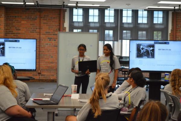
The paint may still be drying at recently-renovated Pomerene Hall, but that didn’t deter 28 intrepid high-school age women from participating in the Women in Data Science Summer Camp hosted by the…
Spring 2018 speaker series re-cap
We hope you enjoyed our Spring 2018 speaker series as much as we did! If you weren’t able to join us for the live presentations, you missed some delicious food, but you can still devour the…

Researcher Spotlight: Seth Tribby
For the Researcher Spotlight this month, we feature undergraduate student researcher Seth Tribby.
Around the CURA office, Seth is known as “Dark Brown”, owing to his (untenable) position in…
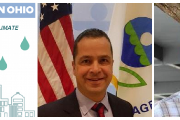
Researchers represent CURA at 2018 AAG Conference
CURA was well-represented at the 2018 American Association of Geographers annual meeting, which took place in New Orleans in April.
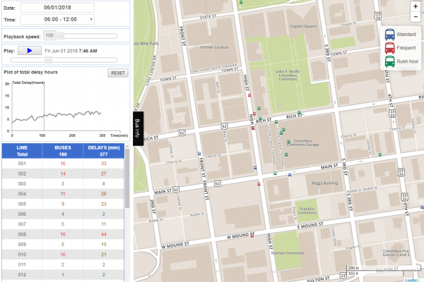
Bus DelaysPost-doctoral researcher Yongha Park presented…
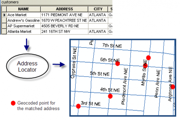
Featured resource: CURA Geocoder
Did you know that CURA maintains a free geocoding service for use by OSU students, faculty, and staff? Read this post to learn how you can use the CURA geocoder for your next project.
In…
New Releases // From the Academy
This fall, we have chosen to feature six intriguing papers that discuss diverse transportation options and analyze intra-urban traffic networks.
Towards a general theory of mixed zones: The…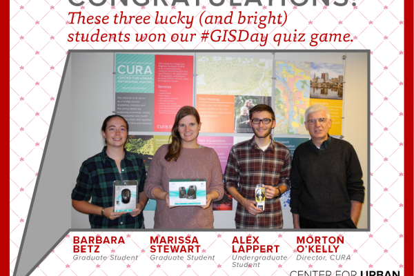
GIS Day 2014
With dozens of exhibitors and many more attendees, GIS Day 2014 was a success! In partnership with OSU Libraries, the GIS Enterprise Initiative, the GIS Club, and the Urban and Regional…
Cliff Lovin Geography/Engineering Scholarship
Woolpert is pleased to announce that they have established the Cliff Lovin Scholarship for geography or engineering students attending school in the State of Ohio. The intent of the scholarship is…
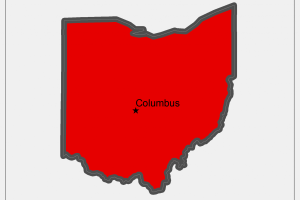
Ohio GIS Conference
The 2014 Ohio GIS confernce will be held in downtown Columbus on September 22-24.
For more information see the conference site at
2014 Ohio GIS Confencence