Past Projects
Over the past several years, CURA has undertaken a number of notable projects. A small sample can be found below. Contact CURA for more information about any of these initiatives!
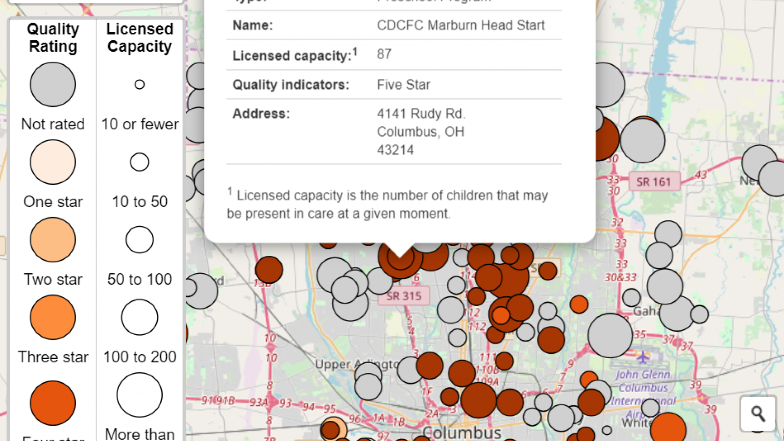
Central Ohio Early Childhood Supply Map
Action for Children and CURA created an interactive web-map tool that civic leaders, advocates and childcare providers could use to explore the availability of quality childcare and early learning centers in Central Ohio. The first iteration of this map first included all licensed childcare and early learning programs: childcare centers, preschools, before and after school programs, and licensed family childcare homes.
CURIO
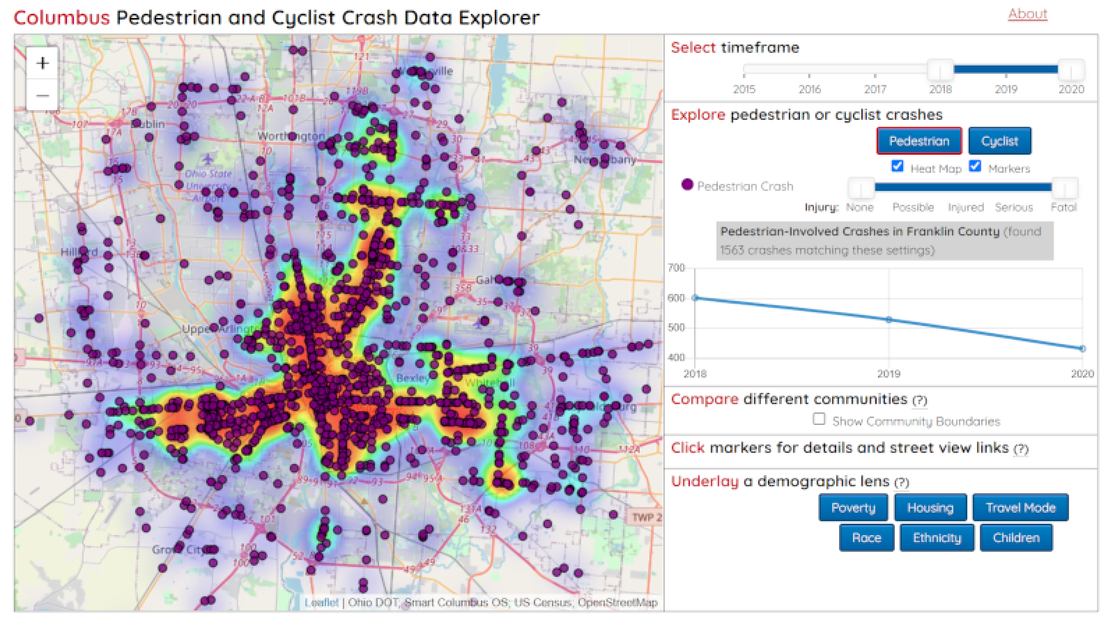
The Columbus Urban and Regional Information Observatory, also known as CURIO, was a web application that brings together spatio-temporal information about Columbus and the surrounding region from a variety of sources. The data was curated to provide a near-real-time snapshot of the social, economic, infrastructural, and environmental fabric of the city. CURIO included data such as COGO bikeshare stations, demographic information, air quality measurements, bus delay data, and traffic camera photos to fuel tools such as a transit delay visualization, a transit accessibility visualization, and a crash data explorer.
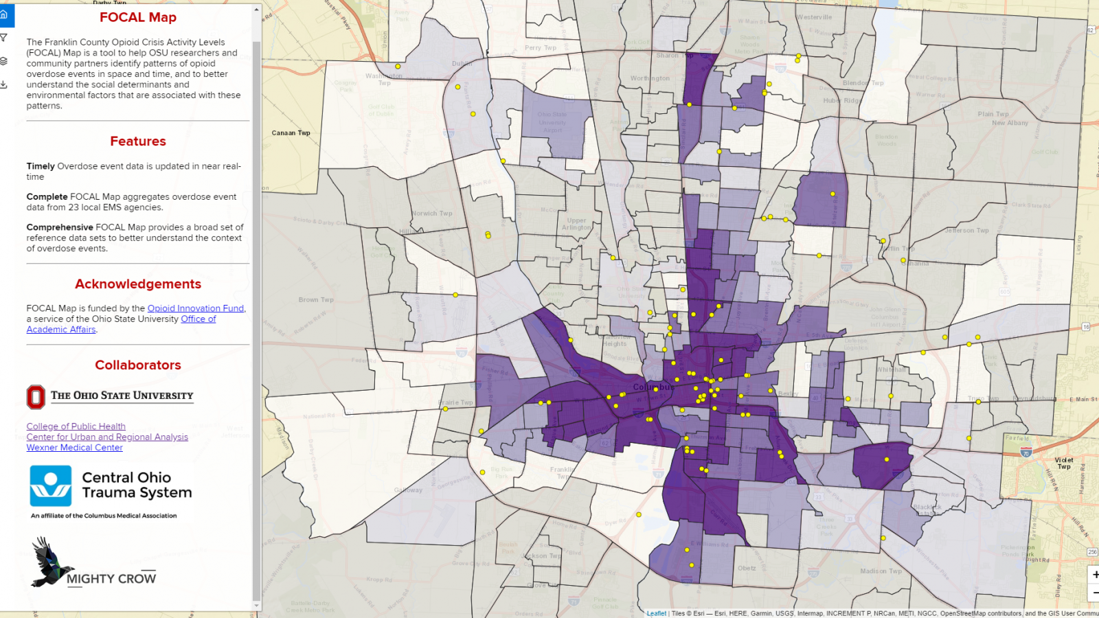
Franklin County Opioid Crisis Activity Levels (FOCAL) Map
FOCAL Map was an interdisciplinary collaboration with researchers from across campus and stakeholders in the community to map opioid overdose incidents with high spatiotemporal resolution and visualize them in the context of relevant socioeconomic and administrative data. This project was supported by the Ohio State University Opioid Innovation Fund. The project worked to 1) improve access to real time data for Ohio State and community partners, which will allow us to determine the impact of any planned interventions and 2) work with community partners in Columbus Public Health and treatment providers to plan further outreach to those in recovery desert areas.
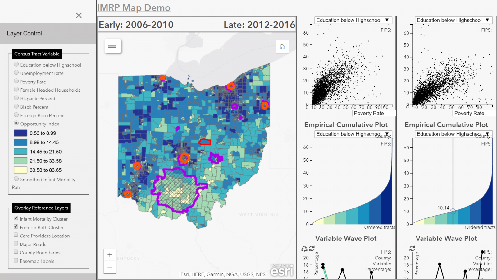
Infant Mortality Research Partnership (IMRP)
CURA developed a web-based web-based spatiotemporal analysis application to study the social determinants of infant mortality and preterm birth in Ohio for the Infant Mortality Research Partnership (IMRP). The IMRP was a collaboration between the Ohio Departments of Medicaid, Higher Education, and Health, the Ohio Colleges of Medicine Government Resource Center, and several research groups on campus. Specifically, the dashboard was designed to help policy makers understand the spatial distribution of various social, economic, and structural factors which may impact preterm birth and infant mortality in Ohio.
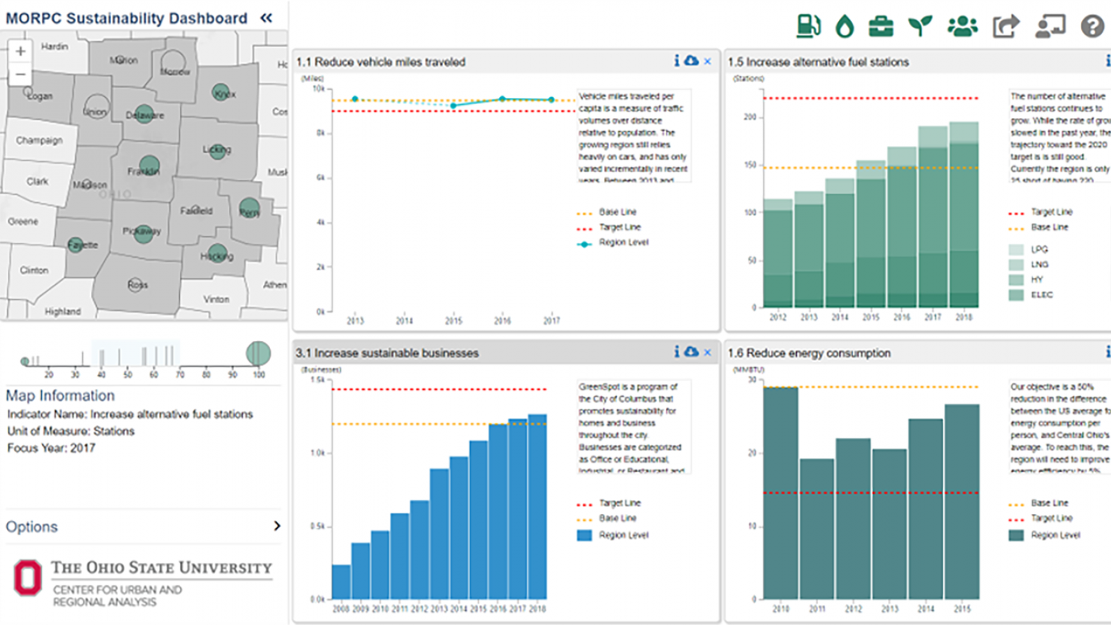
Regional Sustainability Dashboard
In 2019, CURA and the Mid-Ohio Regional Planning Commission (MORPC) collaborated to design a dashboard that served as the official status report for Central Ohio’s progress toward the Regional Sustainability Agenda. It was created out of the need for greater access to data and information in order to shed light on the impacts of collective sustainability efforts across the 15-county region. The dashboard helped measure actions that contributed to the goals of energy consumption, natural resource protection, economic opportunity, sustainable neighborhoods, and collaboration. The dashboard received the Collaborative Achievement in Sustainability Award that recognizes a group of entities or individuals who have shown effectiveness in producing environmental accomplishments through a collaborative effort.

