News
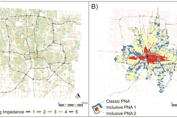
Research: Inclusive Accessibility: Integrating Heterogenous User Mobility Perceptions into Space-Time Prisms
In August, an article was published in the journal Annals of the American Association of Geographers co-authored by former CURA GRA, Armita Kar, CURA Faculty Affiliate, …

Rongjun Qin Recieves NSF Funding for Underwater 3D Ecosystem Modeling and Analysis
This month, CURA Faculty Affiliate Rongjun Qin, received a National Science Foundation (NSF) funding for an open-source toolkit for underwater 3D ecosystem modeling and analysis. Learn more…
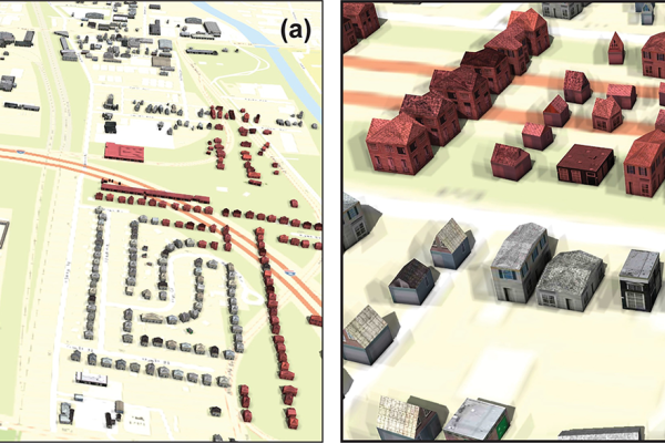
Research: Creating building-level, three-dimensional digital models of historic urban neighborhoods from Sanborn Fire Insurance maps using machine learning
In a paper, just published in PLOS ONE, CURA researchers develop machine learning techniques that can turn historical fire insurance maps of US cities into digital 3D urban models, at scale.…
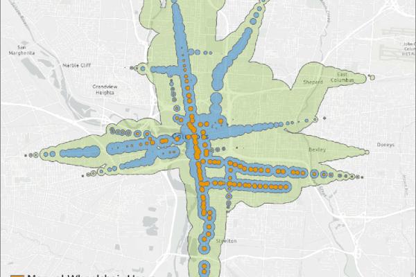
Research: Disparities in public transit accessibility and usage by people with mobility disabilities: An evaluation using high-resolution transit data
This week, an article was published in the Journal of Transport Geography. This article was authored by CURA graduate researchers, Luyu Lui, Armita Kar, and Ahmad Ilderim Tokey; CURA…
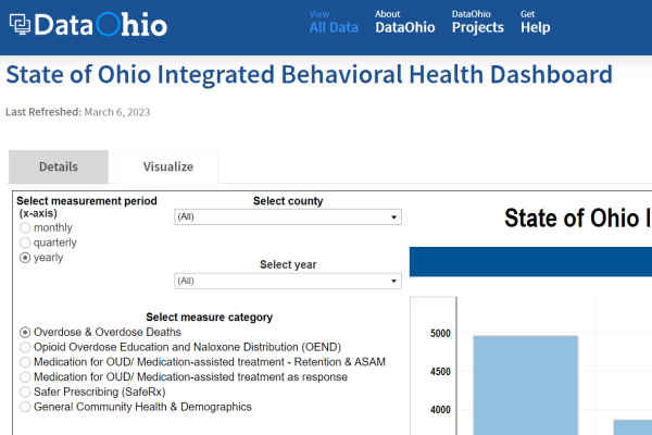
CURA Faculty Affiliate, Bridget Freisthler Launches New Data Dashboards to Report Overdose
This week, CURA Faculty Affiliate, Bridget Freisthler, lead a team that launched the State of Ohio Integrated Behavioral Health Dashboard. These statewide dashboards were adopted…

Research: The BARI-hoods Project: Neighborhood social determinants of health and postoperative weight loss using integrated EHR, Census, and county data
This month, an article was published in the journal Surgery for Obesity and Related Diseases. Keeley Pratt served as the lead author, and CURA director, Harvey…

Filling Public Data Gaps: Subtitle Opportunities and Challenges in Using Private-Sector Data for Racial Equity
Last week, the Urban Institute released the paper, Filling Public Data GapsOpportunities and Challenges in Using Private-Sector Data for Racial Equity. In this report, they explore…

Building Equity | Equitable Real Estate Development Strategies for Weak Markets
This past week, Greater Ohio Policy Center (GOPC) and Lincoln Insititute of Land Policy released a white paper, Building Equity: Equitable Real Estate Development Strategies for Weak Markets…
In the News: When City and State Highway Officials Disagree on Safety, Pedestrians Lose
This week, CURA was featured in an article by Pew Trust. This article discussed the study Lower Volumes, Higher Speeds: Changes to Crash Type, Timing, and Severity on Urban Roads from COVID-…
