News
New Staff
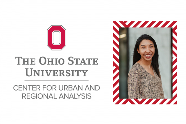
In September, CURA welcomed Gerika Logan as the new Outreach Coordinator.
As the CURA Outreach Coordinator, Gerika connects researchers, students,…

Transitions
CURA's Outreach Coordinator, Katie Phillips, recently accepted a new position and will serve her last day at CURA on Friday April 30th. She is still in the OSU family and will be…

CURA's Director appointed to second term as Chair of the National Academies Mapping Science Committee
Harvey Miller appointed to second term as Chair of the National Academies Mapping Science Committee. The Mapping Science Committee organizes and oversees National Research Council studies that…
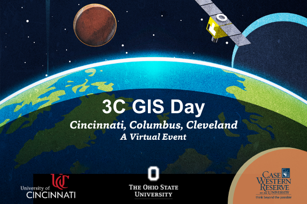
3C GIS Day - November 18th, 2020
November 18, 9:00am – 4:00pm
GIS Day is an annual event for students, staff, faculty, and the broader community to learn more about Geographic Information Systems (GIS)…

ArcGIS Online Challenge (Learning Path)
ArcGIS Online Challenge June 1 - June 30
Have you come across an interactive map on the web and wondered “how did they make that?” Have you heard about GIS (geographic information systems) and…
Accessing ArcGIS at Home for Teaching, Learning, and Research
As students return to classes and adjust to the transition to virtual learning, many may have questions about how to access software necessary to complete assignments or continue their research…
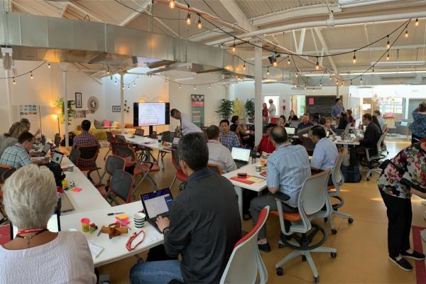
New Mobility & Cities Workshop
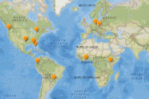
On July 15-16, CURA along with the STEAM Factory, the Sustainability Institute (SI) and Portland State University (PSU) hosted a National Science Foundation (NSF) sponsored workshop on New…
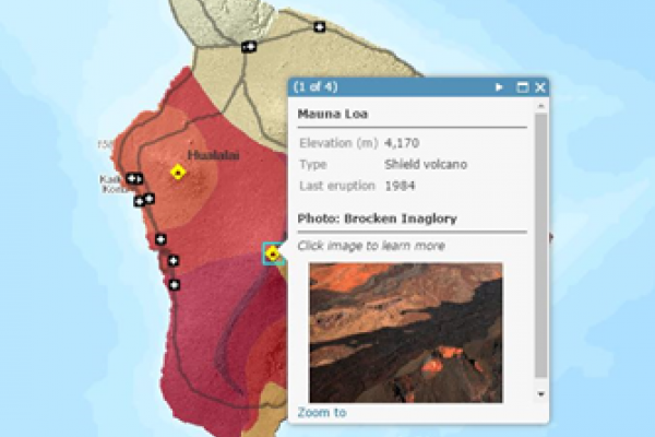
Upcoming workshop: GIS for the Rest of Us
From Ptolemy to Tobler, cartographers and data scientists help people see the world in new ways. You can too! Join CURA, Byrd Polar and Climate Research Center, and the University Libraries…
Cliff Lovin Geography/Engineering Scholarship
Woolpert is pleased to announce that they have established the Cliff Lovin Scholarship for geography or engineering students attending school in the State of Ohio. The intent of the scholarship is…