News
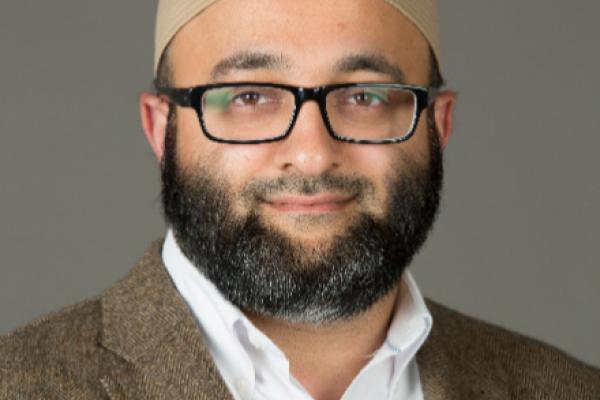
CURA Faculty Affiliate Ayaz Hyder Awarded The 2022 Outreach and Engagement Impact Grant
This week, CURA faculty affiliate, Ayaz Hyder, was awarded a 2022 Outreach and Engagement Impact Grant. This year, $204,710 was awarded at a maximum amount of $20,000 to support…
Licking County Joins MORPC
During its June Commission meeting, the Mid-Ohio Regional Planning Commission (MORPC) unanimously passed a resolution to accept Licking County as its newest member, joining 78 other communities…
CURA and MORPC are accepted into the National Neighborhood Indicators Partnership
This week, CURA and the Mid Ohio Regional Commission (MORPC) were accepted into the National Neighborhood Indicators Partnership (NNIP). This joint partnership was created to boost community…
Harvey Miller receives Community Engaged Scholar Awards
Ohio State's University Outreach and Engagement Awards honor faculty, staff, students, and community partners for outstanding achievement in producing engaged scholarship and community impact.…
Harvey Miller Elected to American Association of Geographers New Fellows
Dr. Harvey J. Miller, Bob and Mary Reusche Chair in Geographic Information Science, Professor of Geography, and Director of the Center for Urban and Regional Analysis at The Ohio State University…

Harvey Miller appointed to Mid-Ohio Regional Regional Planning Commission Regional Data Advisory Committee
CURA Director, Harvey Miller has been appointed to the Mid-Ohio Regional Regional Planning Commission (MORPC) Regional Data Advisory Committee. MORPC is Central Ohio’…
New Staff
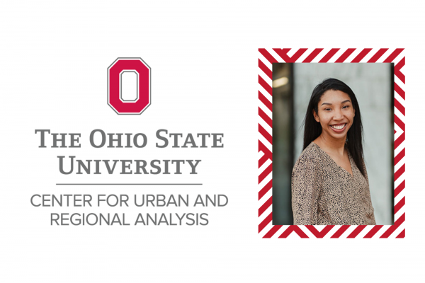
In September, CURA welcomed Gerika Logan as the new Outreach Coordinator.
As the CURA Outreach Coordinator, Gerika connects researchers, students, instructors, planners, policy…

Transitions
CURA's Outreach Coordinator, Katie Phillips, recently accepted a new position and will serve her last day at CURA on Friday April 30th. She is still in the OSU family and will be the new Data…
CURA's Director appointed to second term as Chair of the National Academies Mapping Science Committee
Harvey Miller appointed to second term as Chair of the National Academies Mapping Science Committee. The Mapping Science Committee organizes and oversees National Research Council studies that…
