Ohio Land Exchange (OH/LEX) Web Map
Ohio Land Exchange (OH/LEX) Web Map
Note: The data underlying this tool has not been updated since 2019. The tool should be used only for demonstration purposes.
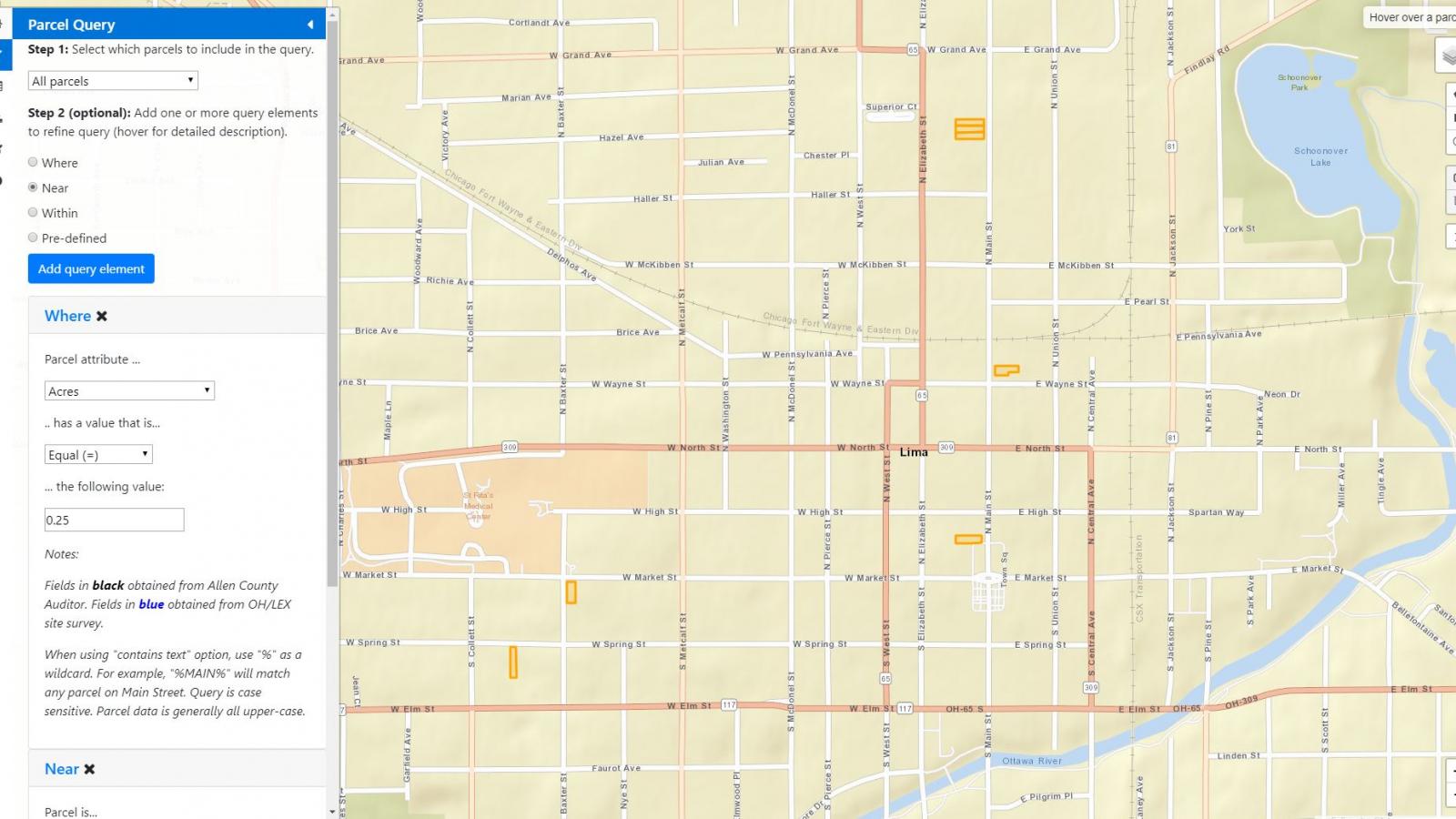
The OH/LEX web map is a tool designed to help interested parties obtain data related to parcels in administrative regions participating in the land exchange. This web map was created to help Ohio Land Bank administrators identify parcels that satisfy the criteria of community stakeholders. Currently, this includes the city of Lima, Ohio.
A typical workflow for the tool involves querying parcels using various criteria, interactively exploring the parcels returned by the query, and curating the data in the form of reports and custom web maps.

