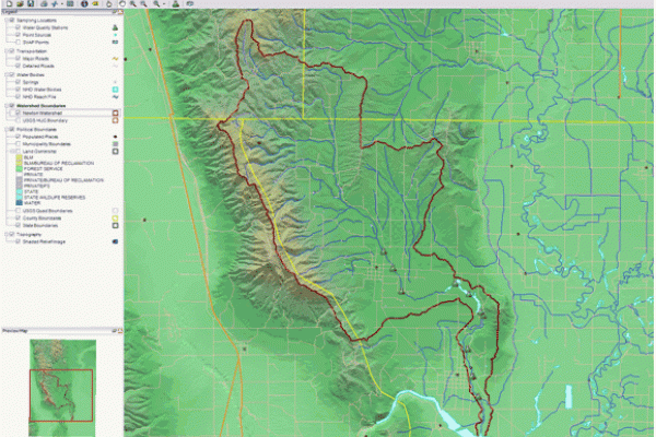
Open Source GIS

Geography PhD Student Bo Zhao recently provided GIS Club members with a workshop on open source GIS. As a follow-up to his workshop, he has provided us with some additional information that we would like to share with the CURA community in case you are interested in learning more about open source GIS.
The development of open source GIS software has—in terms of software history—a long tradition with the appearance of a first system in 1978. Numerous systems are available which cover all sectors of geospatial data handling.
Desktop GIS
• GRASS GIS – Originally developed by the U.S. Army Corps of Engineers: a complete GIS.
• QGIS (previously known as Quantum GIS) – Runs on Linux, Unix, Mac OS X and Windows.
• uDig – API and source code (Java) available.
Web map servers
• GeoServer – Written in Java and relies on GeoTools. Allows users to share and edit geospatial data.
• Mapnik – C++/Python library for rendering - used by OpenStreetMap.
• MapServer – Written in C. Developed by the University of Minnesota.
Spatial database management systems
• PostGIS – Spatial extensions for the open source PostgreSQL database, allowing geospatial queries.
• SpatiaLite – Spatial extensions for the open source SQLite database, allowing geospatial queries.
Web frameworks and libraries
• Geomajas – Open source development software for web-based and cloud based GIS applications.
• MapFish – Aggregates the power of OpenLayers, ExtJS and GeoExt.
• OpenLayers – Open source AJAX library for accessing geographic data layers of all kinds, originally developed and sponsored by MetaCarta. There are also some similar libraries, such as simpleGeo.
Desktop libraries
• GeoTools – Open source GIS toolkit written in Java, using Open Geospatial Consortium specifications.
• GDAL / OGR
Spatially referenced resources
• GeoNetwork opensource – A catalog application to manage spatially referenced resources
• GeoNode – A catalog application based on python, geoserver, and GeoNetwork. Developed by OpenGeo Corp. Havarvd’s worldmap is based on GeoNode.
• GeoDjango – a highly recommended python based GIS web framework.
Social Network applications
• Gephi – Visualization and analyzer for a large set of network
• Sigma.js – web visualization lib for social network
• Heatmap.js – web lib for heatmap
• NLTK – natural language processing toolkits.
• D3.js –web lib for visualization based on HTML5.0.
