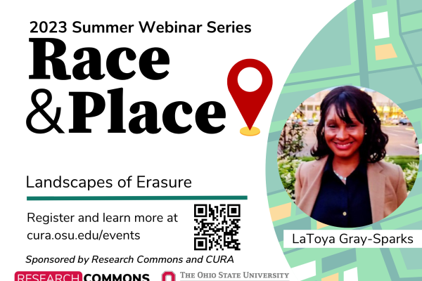
Black landscapes matter, but what should historians and historic preservationists do when the physical indicators of a landscape no longer exist? How can digital technology be used to unveil histories and physical landscapes that were purposefully wiped off the map? Gray-Sparks latest project, Landscapes of Erasure seeks to address these questions. Gray-Sparks’ praxis involves researching and mapping Black spaces that were wiped off the physical landscape of Richmond, Virginia because of urban renewal. Relying on archival data, oral histories and old topographical maps, Gray-Sparks reimagines a landscape that conveys Black resilience and resistance.
LaToya Gray-Sparks is a graduate student in urban and regional planning at the Wilder School at Virginia Commonwealth University (VCU). Her research interests include urban history, historic preservation, housing policy and geographic information systems (GIS). In 2020, LaToya received international recognition for her story map titled, "Planned Destruction", which outlines the history of urban planning on Black residents in Richmond, Virginia. LaToya serves as a Board member of the North American Cartographic Information Society (NACIS). She is also interning as an Assistant Historian at the Virginia Department of Historic Resources (DHR), where she works on projects that would increase the number of Black historic landmarks recognized in the Virginia Landmarks Register and the National Register of Historic Places.
Moderated by Harvey Miller
This event is approved for 1 AICP CM credit. To claim your CM credits, log into your My APA account on the APA website and enter the event into your online CM event log.

