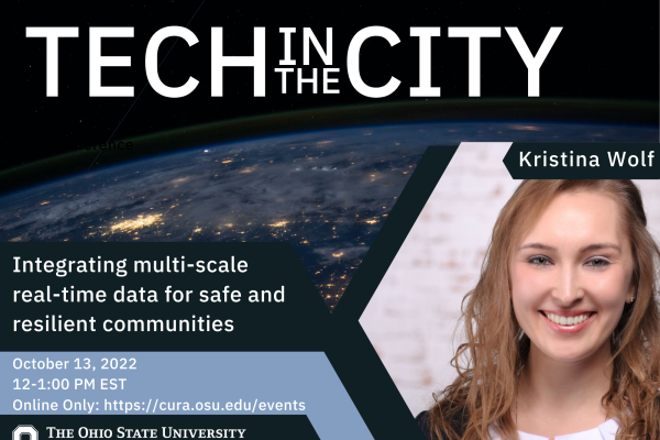
Integrating multi-scale real-time data for safe and resilient communities with Kristina Wolf

Kristina Wolf
October 13, 2022
12:00PM - 1:00PM
Online Only: Webinar

Date Range
2022-10-13 12:00:00 2022-10-13 13:00:00 Integrating multi-scale real-time data for safe and resilient communities with Kristina Wolf   Emergency services play an essential part in serving our communities and keeping them safe. The management of emergencies is a collaborative effort amongst various stakeholders. Real-time data provides new opportunities for improving this collaboration, but brings significant technical challenges.   Drawing upon a systems engineering approach, we define current stakeholders’ challenges and formulate requirements for an improved system. Based on these findings, we collect real-time traffic, weather and flood data from smart internet-enabled devices in Newcastle upon Tyne (UK) and develop a geospatial data infrastructure for location-based analysis using Esri GIS technology and Microsoft Azure computing resources. By connecting interdependent data across existing systems and stakeholder boundaries, we can provide stakeholders with a more comprehensive operational picture and enable more efficient and informed decision support - demonstrating example capability of what a smart city can deliver. This research aims to deliver better initial operational support and impact assessment on the environment, people and infrastructure, and support researchers in interdisciplinary and complex multi-agency project environments.   Kristina's Bio: I have graduated with a Bachelor of Science (B. Sc.) degree in International Management for Business and Information Technology and a Master of Science (M. Sc.) degree in Management Information Systems (MIS). The focus of my final year was on Geographical Information Systems (GIS). During my research semester at the Transportation & GIS Laboratory at Tohoku University, Japan, I worked with static and dynamic data from probe vehicles and analysed the effects of (natural) hazards on transport networks. For my master thesis "Identification of pilot areas for broadband expansion using GIS-based models" I was awarded with the Esri Young Scholar Award Germany. For my MRes in Geospatial Data Science, I developed a geodatabase model to estimate flood impacts on the environment, society, and infrastructure for Newcastle upon Tyne and had the opportunity to present my work at the Esri Resilient by Geodesign Summit. As part of my bachelor's degree, I was employed by the logistics service provider Deutsche Post DHL and worked on projects focusing on data warehousing, BI analytics and procurement. I completed a traineeship in Technology Consulting at Pricewaterhouse Coopers and worked as a consultant in various sectors, including GIS-related projects. During my work experience, I was involved in projects in the USA, UK, India and the Netherlands. Online Only: Webinar America/New_York public


Emergency services play an essential part in serving our communities and keeping them safe. The management of emergencies is a collaborative effort amongst various stakeholders. Real-time data provides new opportunities for improving this collaboration, but brings significant technical challenges.  

Drawing upon a systems engineering approach, we define current stakeholders’ challenges and formulate requirements for an improved system. Based on these findings, we collect real-time traffic, weather and flood data from smart internet-enabled devices in Newcastle upon Tyne (UK) and develop a geospatial data infrastructure for location-based analysis using Esri GIS technology and Microsoft Azure computing resources. By connecting interdependent data across existing systems and stakeholder boundaries, we can provide stakeholders with a more comprehensive operational picture and enable more efficient and informed decision support - demonstrating example capability of what a smart city can deliver. This research aims to deliver better initial operational support and impact assessment on the environment, people and infrastructure, and support researchers in interdisciplinary and complex multi-agency project environments.  


Kristina's Bio: I have graduated with a Bachelor of Science (B. Sc.) degree in International Management for Business and Information Technology and a Master of Science (M. Sc.) degree in Management Information Systems (MIS). The focus of my final year was on Geographical Information Systems (GIS). During my research semester at the Transportation & GIS Laboratory at Tohoku University, Japan, I worked with static and dynamic data from probe vehicles and analysed the effects of (natural) hazards on transport networks. For my master thesis "Identification of pilot areas for broadband expansion using GIS-based models" I was awarded with the Esri Young Scholar Award Germany. For my MRes in Geospatial Data Science, I developed a geodatabase model to estimate flood impacts on the environment, society, and infrastructure for Newcastle upon Tyne and had the opportunity to present my work at the Esri Resilient by Geodesign Summit.

As part of my bachelor's degree, I was employed by the logistics service provider Deutsche Post DHL and worked on projects focusing on data warehousing, BI analytics and procurement. I completed a traineeship in Technology Consulting at Pricewaterhouse Coopers and worked as a consultant in various sectors, including GIS-related projects. During my work experience, I was involved in projects in the USA, UK, India and the Netherlands.

Events Filters: