Ohio State nav bar

ArcGIS Online Challenge (Learning Path)

AGOL modules
February 1 - March 5, 2021
12:00AM - 11:59PM
Online Only

Date Range
Add to Calendar 2021-02-01 00:00:00 2021-03-05 23:59:00 ArcGIS Online Challenge (Learning Path) Have you come across an interactive map on the web and wondered “how did they make that?” Have you heard about GIS (geographic information systems) and wished you could learn more about how it might be useful for your own research and/or teaching? If you answered “yes” to either of these questions, then the Spring ArcGIS Online Challenge is for you! Through completing this challenge, you will: Describe the potential of GIS beyond “dots on a map” and for cross-disciplinary applications; Use ArcGIS Online apps individually and in conjunction with one another for common tasks in geospatial projects Develop an outline for using GIS in a research project or teaching assignment relevant to your own work This self-paced, 100% online challenge is designed to be completed over the course of five weeks, with 2-3 hours of work per week. Each weekly module consists of a mix of “lecture” content (i.e., blog posts or videos highlighting key concepts and use cases) and a “lab” exercise, where you will get some hands-on experience with the methods and tools covered in each module. Each Monday during the challenge, participants will receive an email with information about that week’s topic and content, along with instructions for completing the associated activities. There is no deadline for completing these modules, and participants are encouraged to work at their own pace. Who: Ohio State faculty, staff, postdocs and graduate students When: Feb. 1 – Mar. 5, 2021 Where: Online only, via weekly email prompts sent on Monday mornings This online learning path is offered through a collaboration between the Center for Urban and Regional Analysis and the University Libraries Online Only Center for Urban and Regional Analysis cura@osu.edu America/New_York public

Have you come across an interactive map on the web and wondered “how did they make that?” Have you heard about GIS (geographic information systems) and wished you could learn more about how it might be useful for your own research and/or teaching? If you answered “yes” to either of these questions, then the Spring ArcGIS Online Challenge is for you! Through completing this challenge, you will:

  • Describe the potential of GIS beyond “dots on a map” and for cross-disciplinary applications;
  • Use ArcGIS Online apps individually and in conjunction with one another for common tasks in geospatial projects
  • Develop an outline for using GIS in a research project or teaching assignment relevant to your own work

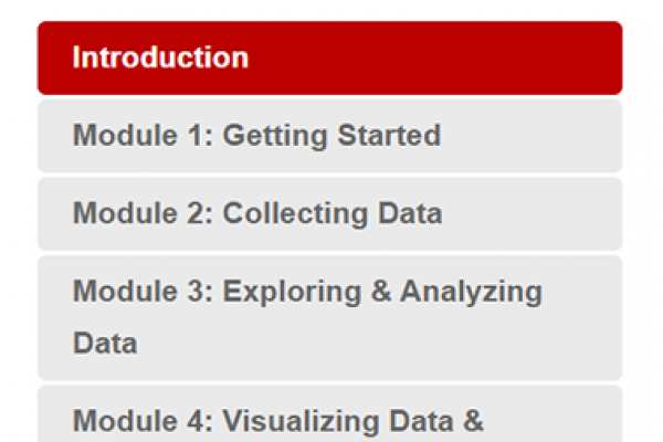
This self-paced, 100% online challenge is designed to be completed over the course of five weeks, with 2-3 hours of work per week. Each weekly module consists of a mix of “lecture” content (i.e., blog posts or videos highlighting key concepts and use cases) and a “lab” exercise, where you will get some hands-on experience with the methods and tools covered in each module. Each Monday during the challenge, participants will receive an email with information about that week’s topic and content, along with instructions for completing the associated activities. There is no deadline for completing these modules, and participants are encouraged to work at their own pace.

Who: Ohio State faculty, staff, postdocs and graduate students
When: Feb. 1 – Mar. 5, 2021
Where: Online only, via weekly email prompts sent on Monday mornings

This online learning path is offered through a collaboration between the Center for Urban and Regional Analysis and the University Libraries

Events Filters: