November 18, 9:00am – 4:00pm
GIS Day is an annual event for students, staff, faculty, and the broader community to learn more about Geographic Information Systems (GIS) and to celebrate the power of geospatial analysis and visualization in answering research questions and solving real-world problems.
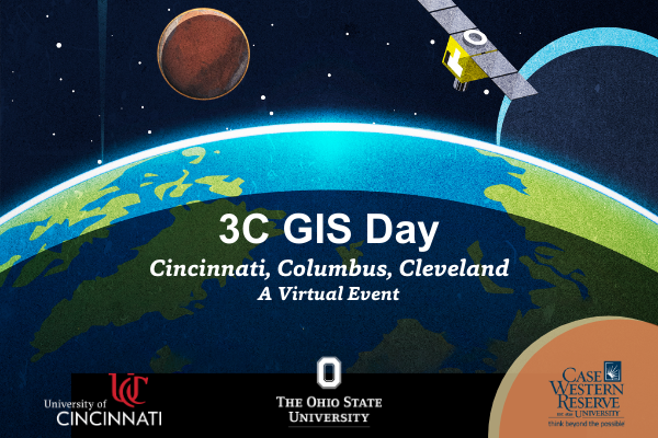
Our 2020 GIS Day program, which we're calling 3C GIS Day, is a collaboration between The Ohio State University, Case Western Reserve University, and the University of Cincinnati.
This exciting virtual program will take place on Wednesday, November 18 from 9:00am to 4:00pm, and will include four tracks of lightning talks highlighting diverse applications of geospatial methods and technologies, an ArcGIS StoryMaps Showcase featuring contributions from the three sponsoring institutions, and opportunities for professional networking and development.
3C GIS Day is FREE and open to all. For complete details about this program and to register, please visit: go.osu.edu/3cgisday.
If you have any questions about 3C GIS Day, please contact Josh Sadvari (Geospatial Information Librarian) and Katie Phillips (Outreach Coordinator, CURA) at geospatial@osu.edu.
Live captioning will be available for the GIS Day lightning talks. If you require additional accommodations, please email libevents@osu.edu as soon as possible. Requests made one week prior to the live event will generally allow us to provide seamless access, but the university will make every effort to meet requests made after this date.