May 13, 2014
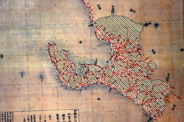
Reproducing 19th Century Japan with GIS

CURA's Dr. Peter Chen partnered with Professor Philip Brown in the Department of History to digitize a 19th century Japanese map. This map will be used for Professor Brown's research project studying governmental taxation policy in the Kaga district of Japan in the 19th century.
